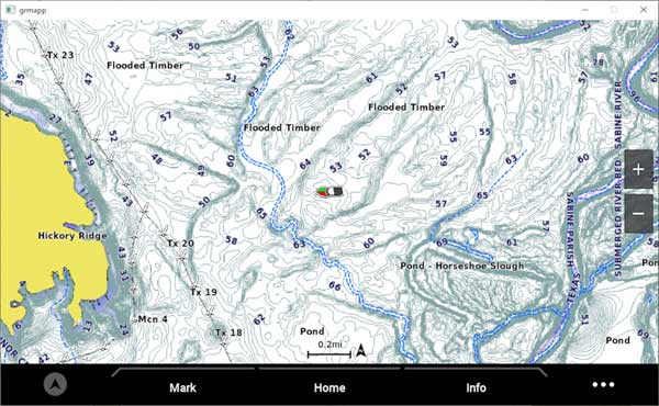
Delivering more than 1.3 million updates to coastal charts and inland maps around the world, Garmin’s new g3 v2022.5 cartography – released this morning – provides boaters, anglers and sailors alike with a host of new content to improve their time on the water. From hunting down fish-holding structures to exploring new waters, updated marine charts offer essential tools needed for better situational awareness and easier decision-making during navigation.
In addition to coverage for over 42,000 lakes and No. 1 marine mapping around the world, Garmin g3 v2022.5 adds updated global chart content, updated NOAA raster charts, new and updated survey lakes, new sonar imagery lakes and more for BlueChart g3 and BlueChart g3 Vision coastal chart users, as well as LakeVü g3 and LakeVü g3 Ultra inland map users.
