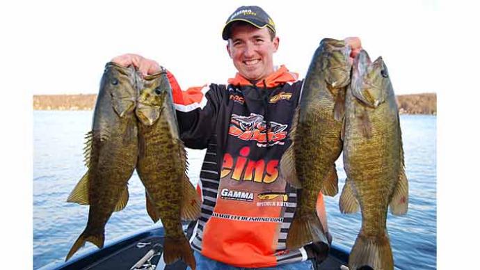
One of the biggest challenges in bass fishing is locating bass on a given day. Bass swim, and keeping up with their seasonal movements separates the good from great anglers. Doing this becomes even more of a challenge when attempting to fish a new body of water.
To increase your chances of success on a new fishery, it pays to do your research, make a plan, and be willing to experiment until you find the fish. Here are a few tips to speed up the process and put the odds in your favor.
Online Research
One of the best things about current times is the speed at which you can gather information about a topic. You can find whatever you want with a few clicks or a search. This is true with bass fishing as fishing reports, social media, tournament results, and forums like bassresource.com can tell you quite a bit about a fishery and what lives there.
Remember that we are dealing with fishermen here, and we are all known to exaggerate a little regarding fish sizes and quantities. That only seems to increase when you add in the online aspect of our society, so take everything you read with a grain of salt.
But, any information you find will be helpful, and if you look hard enough, you will start to see themes. It could be multiple mentions of a specific creek on the lake or references to the same lures popping up often. These small clues could give you a great starting point when visiting the new lake.
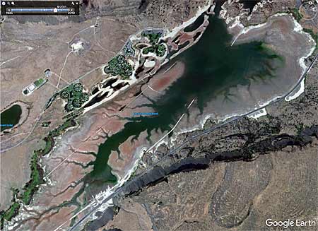
Google Earth is one of the best ways to locate good fishing areas and help you quickly break down a new lake online. The multiple satellite images online can tell you so much about a fishery as they can point you right to backwaters, offshore humps, and where vegetation growth is most prevalent.
A mobile and desktop version of Google Earth is helpful, but the desktop or laptop version is Google Earth Pro and allows you to search through historical images. Pay close attention to when the photos were taken, as seasonal differences can tell you where grass grows in the warmer months and during low water periods that often happen during the fall and winter.
If you are lucky, you might be able to find images that were taken during extreme low water conditions, giving you an underwater look at points, humps, and other fish-holding structure.
Learn to Read a Map Effectively
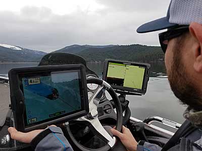
The paper fishing maps of years past were and are beneficial tools. They allow you to read the contour lines of a lake and quickly search for areas that are likely to hold fish. Electronic mapping has taken over and made things even faster and easier to scout a new lake in recent times. Paper maps and electronic map cards are incredibly useful tools for fishing any lake, especially a new body of water.
A few things to keep in mind is that having a good understanding of the seasonal movements of bass is a fundamental part of bass fishing. This varies from lake to lake, the bass species, and region, but there are some common themes, as bass everywhere will follow a similar trajectory through the other months.
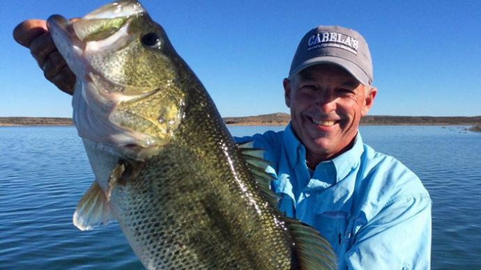
As a general rule, bass will move shallow early in the year and will be near spawning areas. This could include large flats in the back of pockets or anywhere else they can safely spawn and protect their offspring. Finding these areas is crucial during the spring, both before and after they spawn.
Spawning areas can readily be seen on all maps as they will show thicker contour lines, indicating a flatter bottom. The maps will also readily show the backs of pockets and coves that are shallow and protected enough for bass to spawn.
During other months of the year, a bass population will likely be shallow and near the bank, but the offshore structure becomes even more critical. A good map will show offshore humps, deep points, and many other places bass will relate to.
Having a good understanding of the seasonal movements of bass and knowing how to analyze a map quickly will significantly increase the speed at which you break down a new body of water.
Fish With Confidence, but Be Willing to Experiment
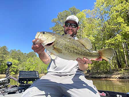
When going to a new body of water, sticking with your favorite lures and those you have the most confidence in is a great place to start. If you are fishing your home lake, you probably know what lures work and where to fish them. These are your confidence baits and techniques and should be what you try first, whether you are on a new body of water or one you fish all the time.
Using the lures and techniques you are most comfortable with is an excellent first step to help you break down new waters, but you can take it even further. It is a great place to start if you can find an area of the new water that looks like your home waters. It could be a line of docks, a rocky bank, or a section filled with grass that reminds you of home and helps you fish with confidence.
If sticking with what you know or finding similar areas isn’t working, be willing to experiment. There are times and places when it pays to throw everything out of the window, go fishing, explore, and try something new.