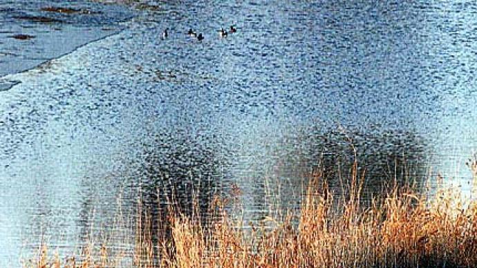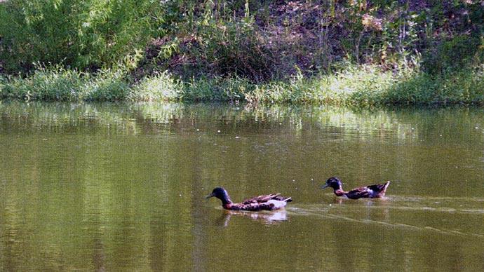
Northern ponds can be a harsh environment for fish! When we hear Southerners talk about their six foot deep half-acre ponds, we can only wish such ponds would sustain fish in the North Country.
The November/December issue of Pond Boss magazine contained an article entitled "Buying or Building a Northern Pond." The purpose of that article was to talk about what it takes to have a successful pond north of the Mason-Dixon Line. Primarily, that article focused on pond depth because greater water volume provides more volumes of dissolved oxygen, increasing the odds fish are more likely to survive our long winters. In fact, the article suggested a person building a pond darn in the northern U.S. should try to obtain 20 foot depths. When those depths are not possible, then aeration systems should be considered. However, the article also went into a discussion of sand and gravel pits and how they can provide better winter habitat than an impounded pond.
Here we relay the actual process of developing a sand/gravel pit into a northern pond. This is the true-life story of Bremer Pond in southwestern Minnesota. Proudly owned by Dwight and Gail Bremer, the grandkids are pretty darn happy with the place, too.
The Beginning
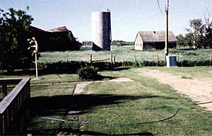
The Bremer home was located on five acres of an old farmstead. Later we added an additional 12 acres which included the old farmstead buildings and silo.
The Contract
We negotiated a contract with a local ready-mix concrete company on October 15, 1994. The basic premise of the contract was the company would mine aggregate (gravel) from our land in return fora pond at the completion of the project.
The Land
The composition of the land in the pond area was approximately 2 feet of topsoil and clay, then 22 feet of gravel above the ground water table and finally the gravel in the water.
The Project
Work commenced in the summer of 1995. The first order of business was stripping off top soil and the attendant clay layer to expose gravel. Each fall a new area was stripped to expose more gravel. The strippings were stockpiled and later used to build the berm around the pond.
The dragline arrived in the fall of 1997 to begin its 8-year career excavating gravel from under water.
Rate of Progress
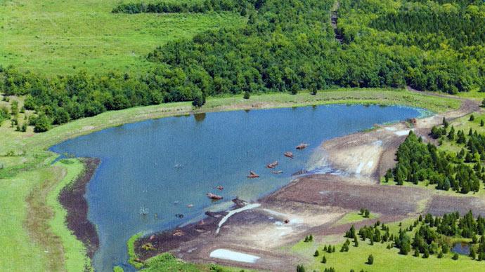
By the fall of 2001 substantial progress had been made. The project is closer to the end than the beginning. Note the berm along the sides of the pond in the photo above.
The Channel
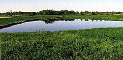
The excavating company dug a channel from the mining area/partial pond to the nearby Rock River. This channel was kept open through three seasons of each year and then closed during winter. The purpose for the channel was to serve as a drainage path in the open-water period. In the closed (iced-up) period its purpose was to prevent spring runoff entering the area from the rising river in the spring. The channel allowed various species of fish to swim up the channel into the expanding pond. While we don't recommend this technique, it resulted in a very desirable fish community in this case. More on that, later.
Finally, in October 2005, after 11 years of work, the channel to the river was closed and the berm was completed. The pond is five acres with an average depth of 10 feet. The deepest area is 15 feet. There are three relatively shallow bays and the bottom is covered with humps and valleys from the action of the dragline. We have added numerous structure features, but that is another story for another time.
Fish Community
The original fisheries management goal was a small-scale, moderately productive lake similar to lakes of central Minnesota. These lakes contain relatively clear water but are fertile enough to have substantial plant growth. We actually expected to add nutrients to create a plant friendly environment, even though we had no clue how to accomplish that. Nature took care of the problem for us.
A typical pit type pond often is not sufficiently fertile to have substantial plant growth. So, how did it happen here? There were periods when the most recently completed part of the berm was bare black dirt awaiting alfalfa planting. A major rain event would cause erosion of topsoil into the pond. This erosion provided enough fertility that the pond now has submerged plant growth, referring to the plants rooted to the bottom and growing toward the surface. Plant growth covers about 60% of the shoreline and extends out to 5-6 foot depths.
Fish that swam the channel from the river became broodfish for the pond. The only fish that we bought to stock were ten gallons of fathead minnows, back in 2006. Northern pike, largemouth bass, blue-ill, black and white crappies and yellow perch all reached the pond through the channel. All are reproducing, except the northern pike, which either are not reproducing or doing so only in extremely low numbers. Common carp and bullheads also entered the pond. The carp population is low in abundance. Either they are not reproducing or young-of-the-year are being controlled by bass and pike. In the clear water of a gravel pit, these two top end predators are very effective! Similarly, black bullhead abundance is low, although we see the occasional large individual. Actually, they are "trophy" type bullheads, but viewpoints on this fish vary!
Because of the carp and bullheads, we don't recommend the river connection as a standard management practice. However, it worked well in this situation. Reproduction by panfish, carp, and bullheads has clearly been substantially cropped by the predators. Few of their young survive, and thus the pond contains a desirable community for fishing. Life is good on Bremer Pond!
In the next article, we'll report results of monitoring water temperatures and dissolved oxygen in Bremer Pond during the winter. Stay tuned to see how well the gravel pit winter oxygen levels matched our expectations!
Dave Willis is department head in the Department of Wildlife and Fisheries Sciences at South Dakota State University.
Reprinted with permission from Pond Boss Magazine
