Current technology enables us to perform maximum research in a short amount of time before hitting a body of water. If you use some of these online tools before your next trip, you just might put more bass in the boat and some more confidence in your game.
|
Image
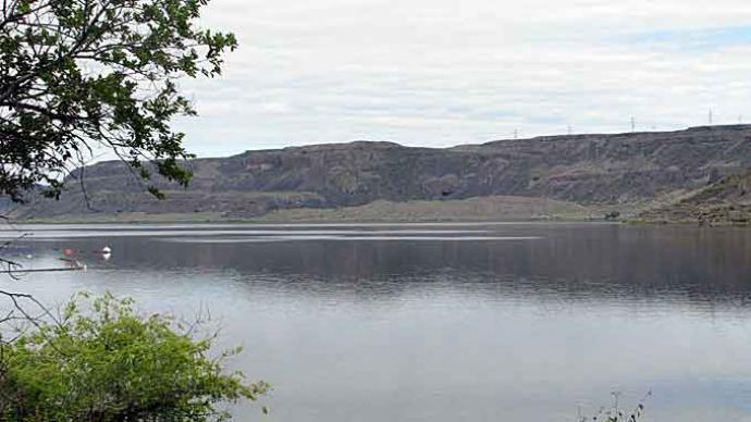
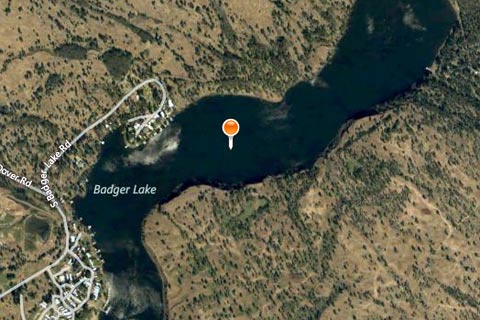
Google Maps Google Maps is one of the most basic fundamental tools that we can use to scout a new body of water, or an old fishing favorite near your hometown. Google Maps is particularly useful for finding main body points, secondary points, feeder creeks, and potential honey holes. Additionally, the Google Earth Application can also be downloaded and used in a similar fashion, but both resources will get this basic research done for free. |
|
Image
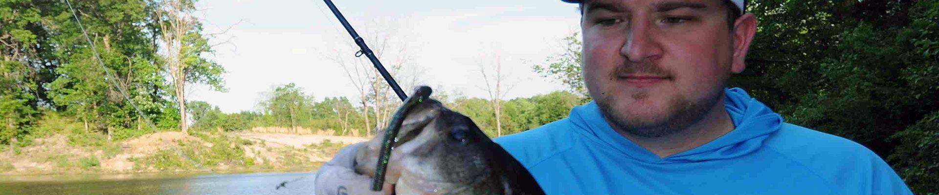
Bing Maps Bing Maps is similar to Google Maps but the overall performance of loading times is a little smoother. Similar to Google, this free online map service includes a “nearby” option that allows you to search for the nearest restaurants, motels and a host of other useful businesses. Particularly useful for tournament anglers or out-of-towners, either service will help you identify special areas of interest. |
|
Image

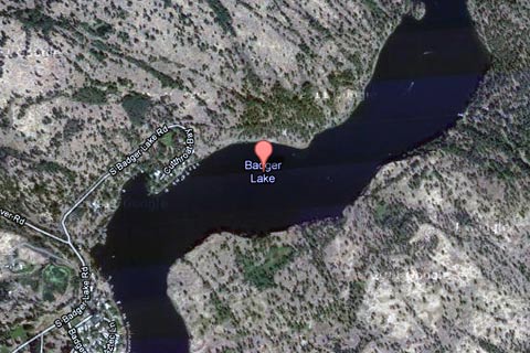
Navionics Mobile While technically not an “online” service, Navionics Mobile allows you to take your iPhone, iPad or Android powered device and carry along full cartography that the professionals use on their boats. The reason for including this particular option is due to the fact that Navionics encourages online community interaction. After purchasing your app (prices vary for each device) you can interact with other anglers through what is called a Community Layer. This option allows you to add rock hazards to maps, or any other pertinent information that could help ease the travels of other boaters. You choose what you want to share with the rest of the Navionics world. Mark that emergency hazard and keep your favorite fishing spot a secret, both at the same time. Along with the Community Layer, you get full Navionics cartography. Depth contours, waypoints, GPS functionality, and so much more are included. If you cannot spend thousands of dollars on your electronics, this should be one of the first options you visit. I have only scratched the surface of what Navionics brings to the table. Personally, I use the iPhone’s Marine & Lakes USA app, which retailed for ten dollars. This application can single-handedly outperform anything else on the market at this price. The greatest feature here is that the entire application can be run on your device without cell phone service. Purchase your app, install it on your device, and then download your favorite bodies of water onto your device’s hard drive. You can fish, mark your favorite spots, track your movements, and even use GPS to check your top speed; all while your phone remains out of service. In conclusion, our time on the water is limited and I have learned that a few simple steps can help you navigate safely and efficiently. By using this process of research, you can improve your strategy and confidence just by taking a few extra minutes to organize your attack. |
|
Image

|